
| Rainier Home | Contact Infomation | Statistics Explained | Map Information | Scope | Current Conditions |
|---|
STATISTICS:
|
click to expand map icon

|
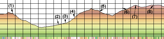
- (1) Ipsut Pass
- (2)Intersection with North loop Trail
- (3) Carbon River camp
- (4) Dick Creek camp
- (5) Mystic camp
- (6) Granite Camp
- (7) Skyscraper Pass
- (8) Frozen Lake
This set of maps is for those folks who are doing the Wonderland in sections. Details are given in the Mystic Lake, Mowich Lake Loopand Skyscraper Pass trail descriptions.
For a detailed description the reader is referred to "Discovering the Wonders of the Wonderland Trail: Encircling Mount Rainier" by Bette Filley
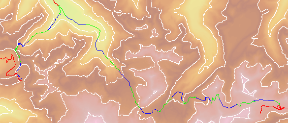
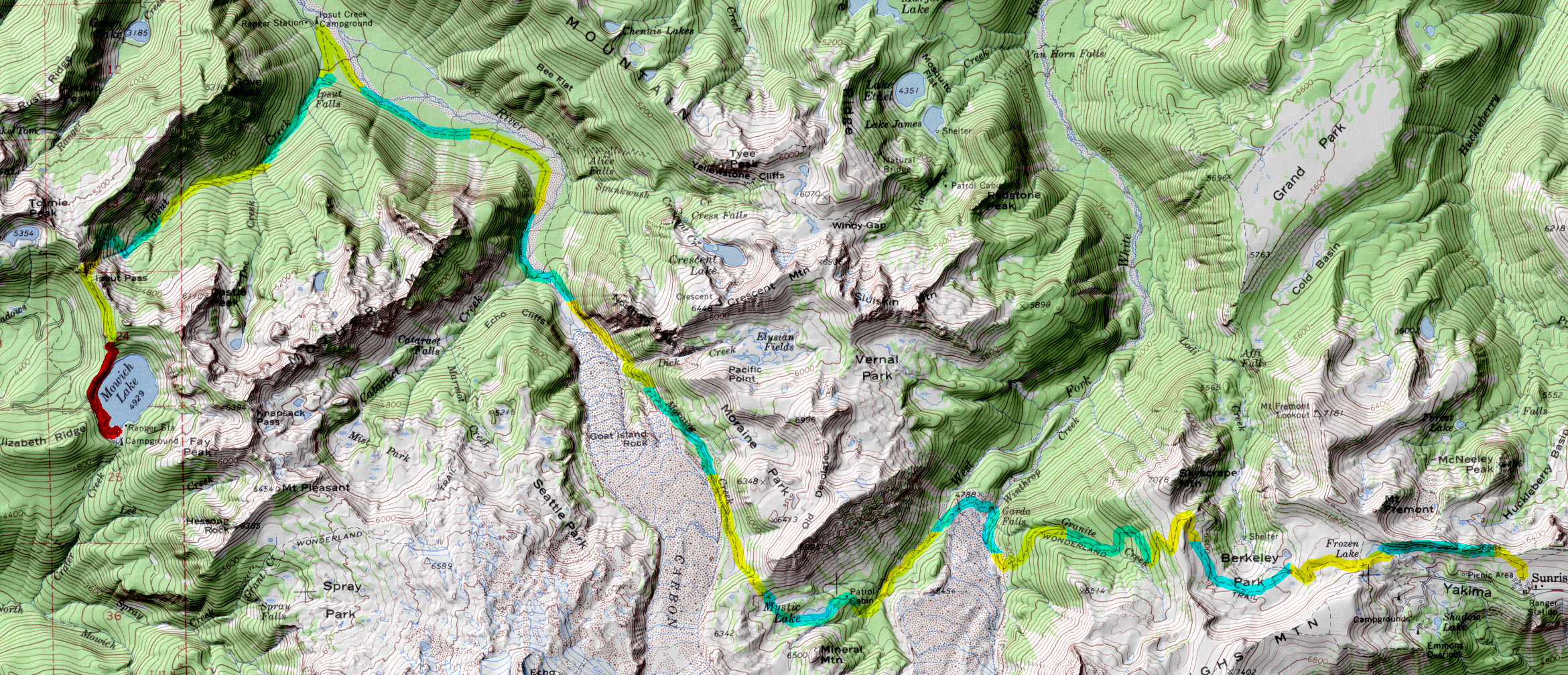
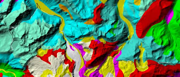
| Map Discription | Size (kb) |
| Small colored elevaton map | 59 |
| Topographic map with shadeing | 3,733 |
| Topographic map without shadeing | 426 |
| Shaded Basement Geologic Map | 222 |
|
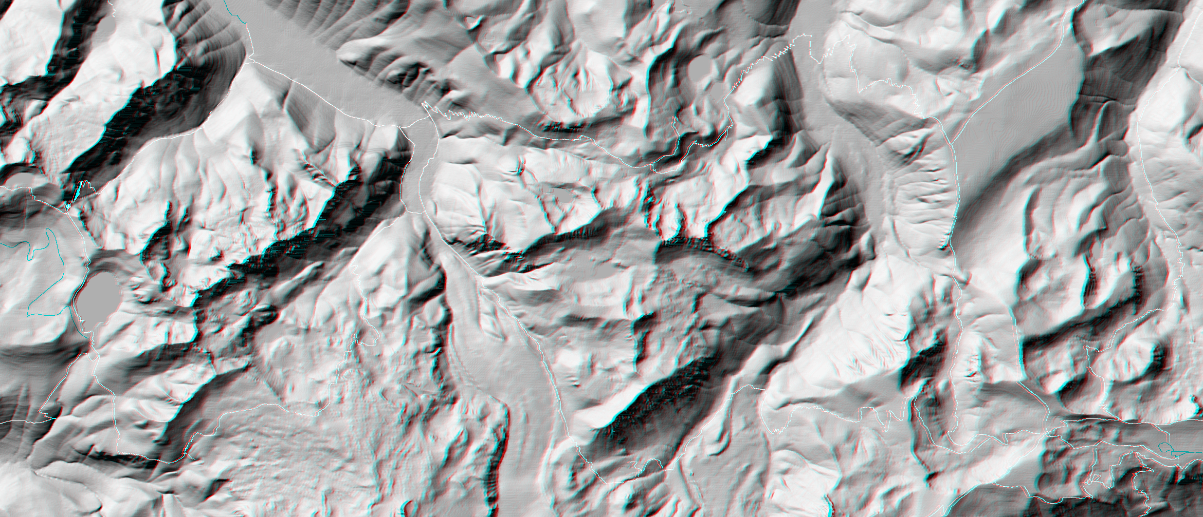
Stereo Map
To see this image you will need special glasses (which I will provide if you contact me before supplies run out) |
2,487 |
return to main Rainier Trail Index
Gregg Petrie ©2000