
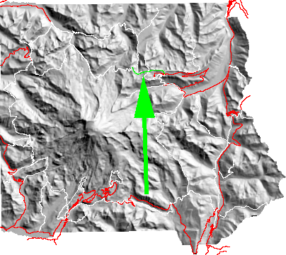
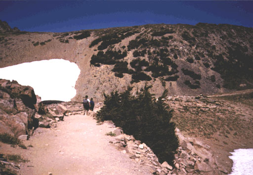
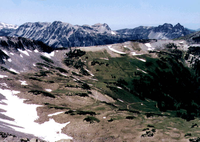
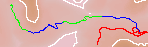
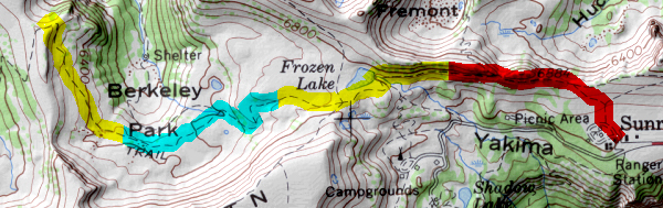
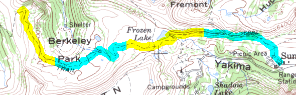
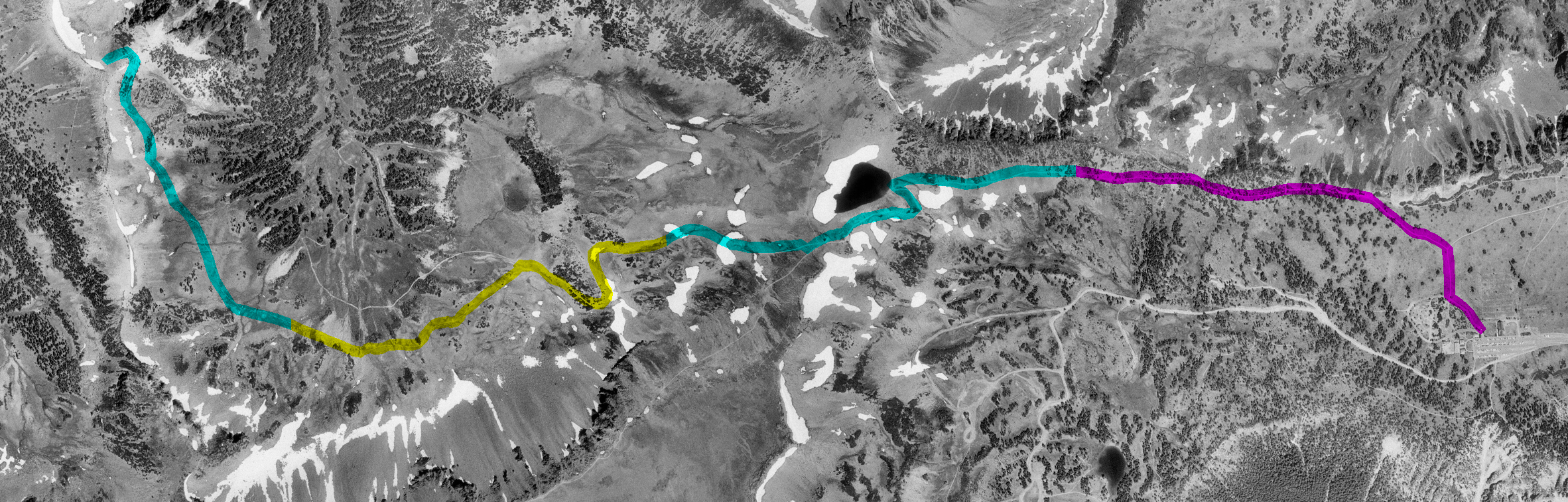
Starting at Sunrise the trail rises and then traverses to Frozen Lake. Just beyond the lake is a major trail intersection with branches to Burroughs MT, Sunrise Camp,Fremont Lookout and west along the Wonderland trail to Berkeley Park and Skyscraper. From here go straight on the Wonderland trail head west toward the Carbon River. The trail descends to a junction to Grand Park . Continuing to the left the trail counters high above Berkeley Park to Skyscraper Pass and magnificent views of the Mountain.
return to main Rainier Trail Index Gregg Petrie ©2000 |