
STATISTICS:
- High point:6380
- Low point:2330
- Hiking season: mid July - Oct.
- Total Elevation gain:6160
- Total Elevation lost:6160
- Total distance:16.4
- Effective Distance:26.3
- Hiking time: 2 days
|
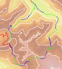
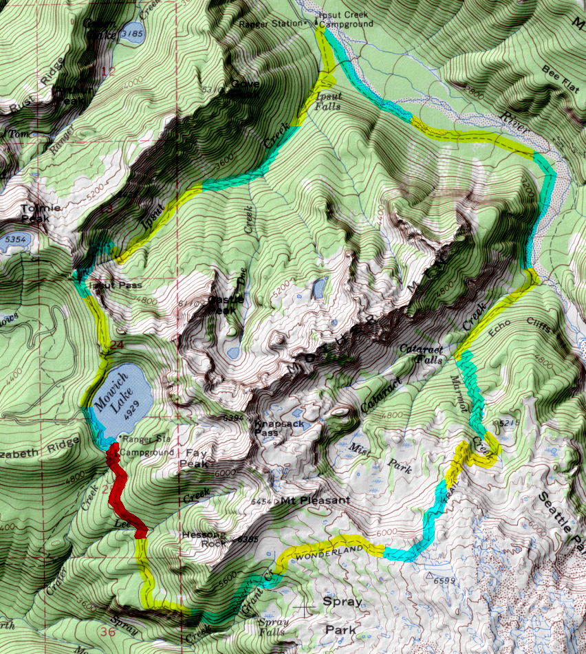
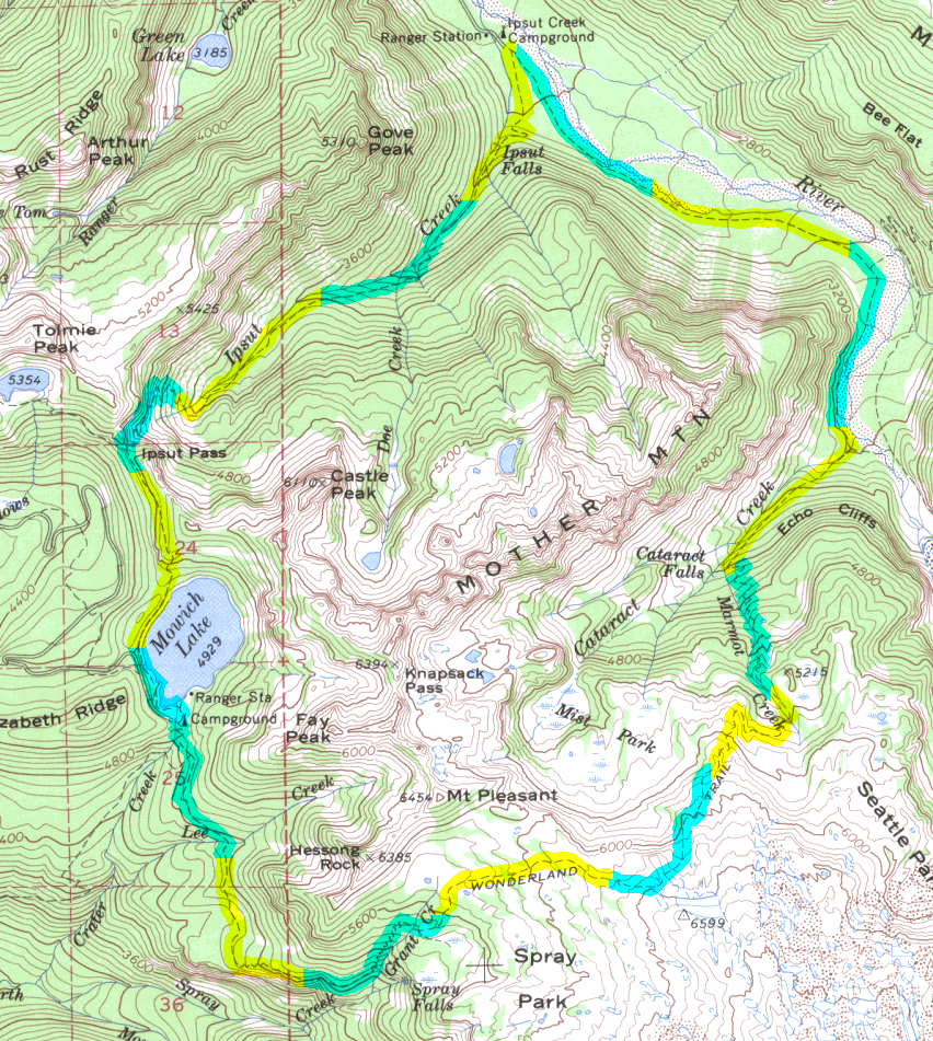
click map icon to expand map
|
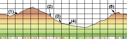
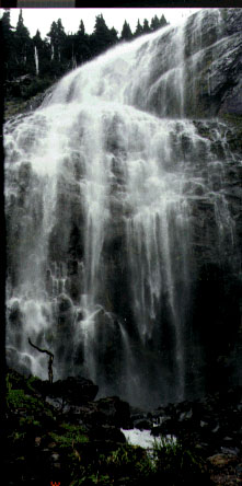
- (1) Spray Falls(just belond Eagle's Roost Camp)
- (2) Cataract Camp
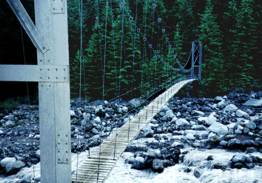
- (3) Carbon River Camp/suspension bridge
- (4) North Loop Trail Intersection
- (5) Ipsut Pass
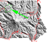
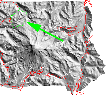
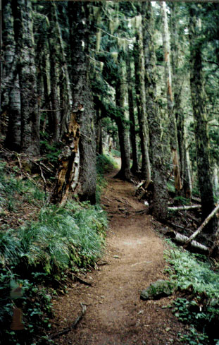
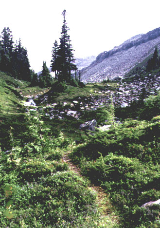
From the Mowich Lake take the trail south along a
rolling forested trail.
The first intersection occurs just a short distance (about .2 mile);
bare left toward Spry Park.
After passing Eagle's Roost Camp, at about 1.8 miles, the next intersection is a
short sidetrail
going to Spray Falls.
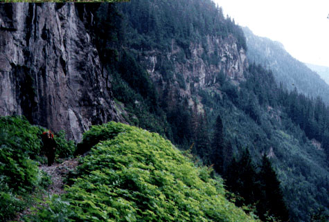
After this intersection the trail gets more serious with steep switchbacks up
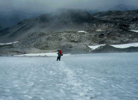
to the lowest meadows of Spary Park. Climbing to the ridge crest the trail often encounters
snowfields and bare rock
that once traversed lead into
meadows
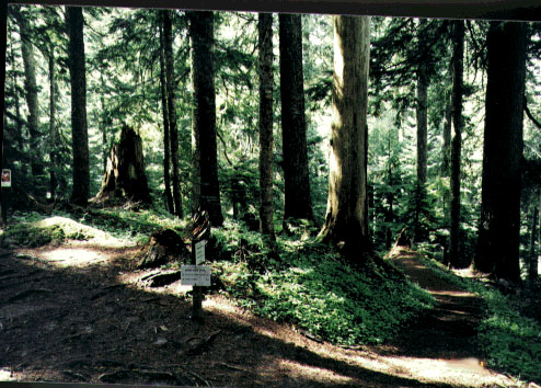
again. Ultimately the trail enters forest and progress down to first Cataract valley
Camp and then the Carbon River Camp. From the Carbon River Camp the trial first entices
the hiker with a easy grade that follows the Carbon River toward the Ipsut Creek Camp Ground.
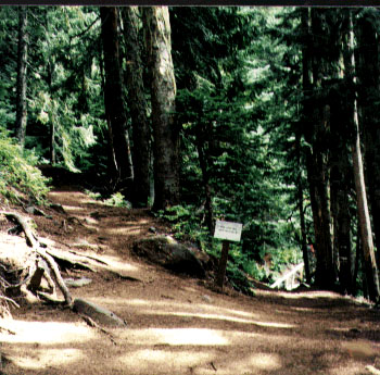
However, before reaching Ipsut Creek Camp the trail turns and starts a steep ascent up the
Ipsut Creek trail. This segment starts in forest and ends open spaces below the
headwall of the Ipsut Creek Valley
and Ipsut Pass. From the Pass it is a relatively easy 1.6 miles back to
Mowich Lake and loop closure.
return to main Rainier Trail Index
Gregg Petrie ©2000
|