
| Rainier Home | Contact Infomation | Statistics Explained | Map Information | Scope | Current Conditions |
|---|
STATISTICS:
|
click map icon to expand map
|
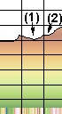
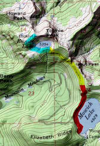
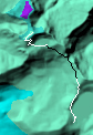
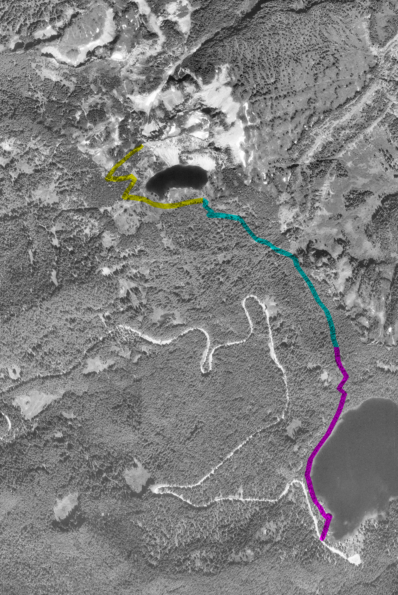
- (1) Ipsut Pass(98bk)
- (2) Eunlee Lake(248kb)
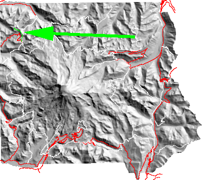
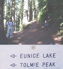
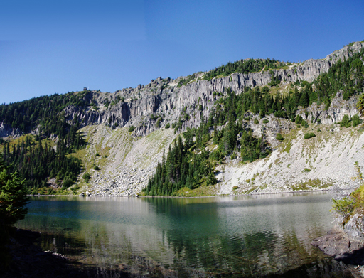
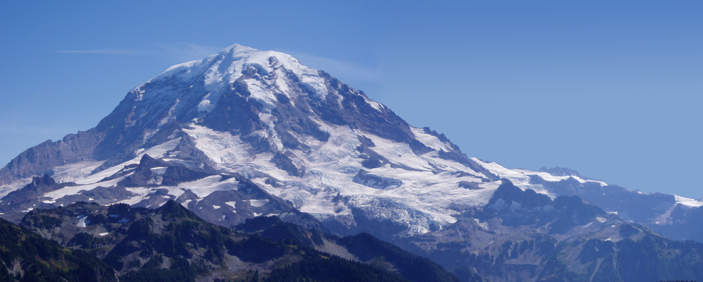
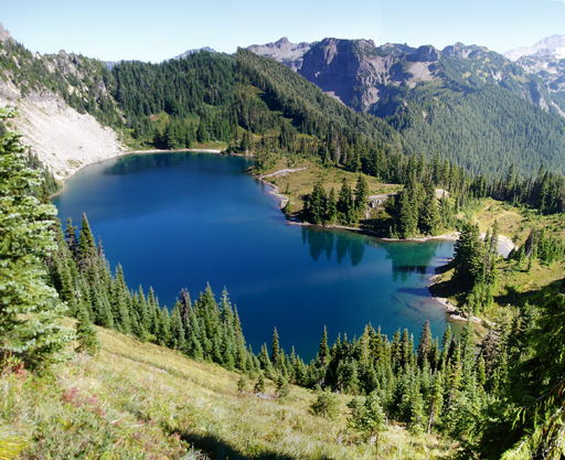
Initially the trail hugs the shore of the lake with a level to gently rolling grade. At the turn off to Ipsut Pass(98kb) (where the Wonderland Trail descends to the Carbon River) the trail first drops and then ascends to Eunice Lake (248kb). From the lake its another 600ft to the lookout cabin and outstanding views of The Mountain(339kb), Mount St. Helens, the Olympics to the east and Mt. Baker and Mt. Stuart to the North. Direly below the whole of Eunice Lake is visible (311kb).
| Map Discription | Size (kb) |
| Small colored elevaton map | 4 |
| Topographic map with shadeing | 255 |
| Topographic map without shadeing | 85 |
| Shaded Basement Geologic Map | 17 |
| Air Photo | 2,183 |
|
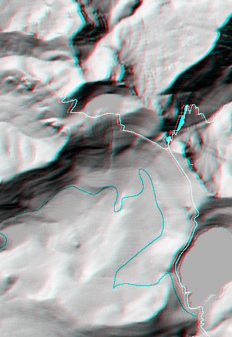
Stereo Map
To see this image you will need special glasses (which I will provide if you contact me before supplies run out) |
199 |
return to main Rainier Trail Index
Gregg Petrie ©2000