
| Rainier Home | Contact Infomation | Statistics Explained | Map Information | Scope | Current Conditions |
|---|
STATISTICS:
|
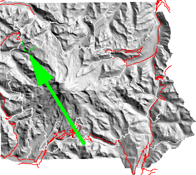
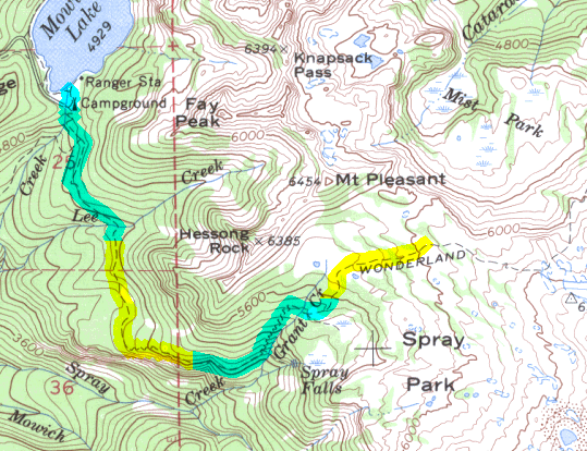
click on map icon to expand
|
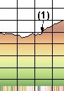
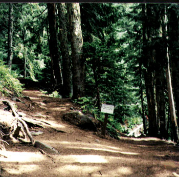
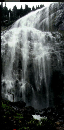
- (1) Spray Falls
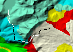
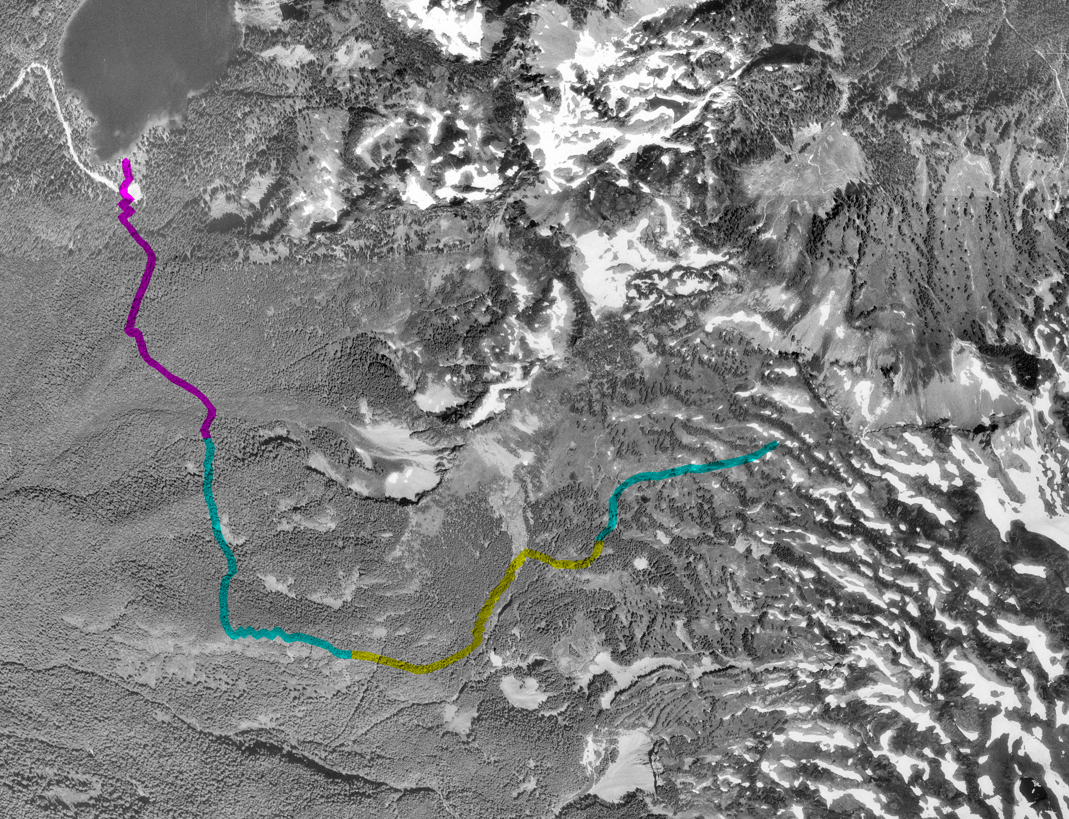
| Map Discription | Size (kb) |
| Small colored elevaton map | 6 |
| Topographic map with shadeing | 370 |
| Topographic map without shadeing | 138 |
| Shaded Basement Geologic Map | 23 |
| Air Photo | 3,129 |
|
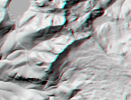
Stereo Map
To see this image you will need special glasses (which I will provide if you contact me before supplies run out) |
254 |
return to main Rainier Trail Index
Gregg Petrie ©2000