
| Rainier Home | Contact Infomation | Statistics Explained | Map Information | Scope | Current Conditions |
|---|
STATISTICS:
|
click on map icon to expand
|
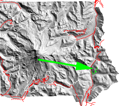
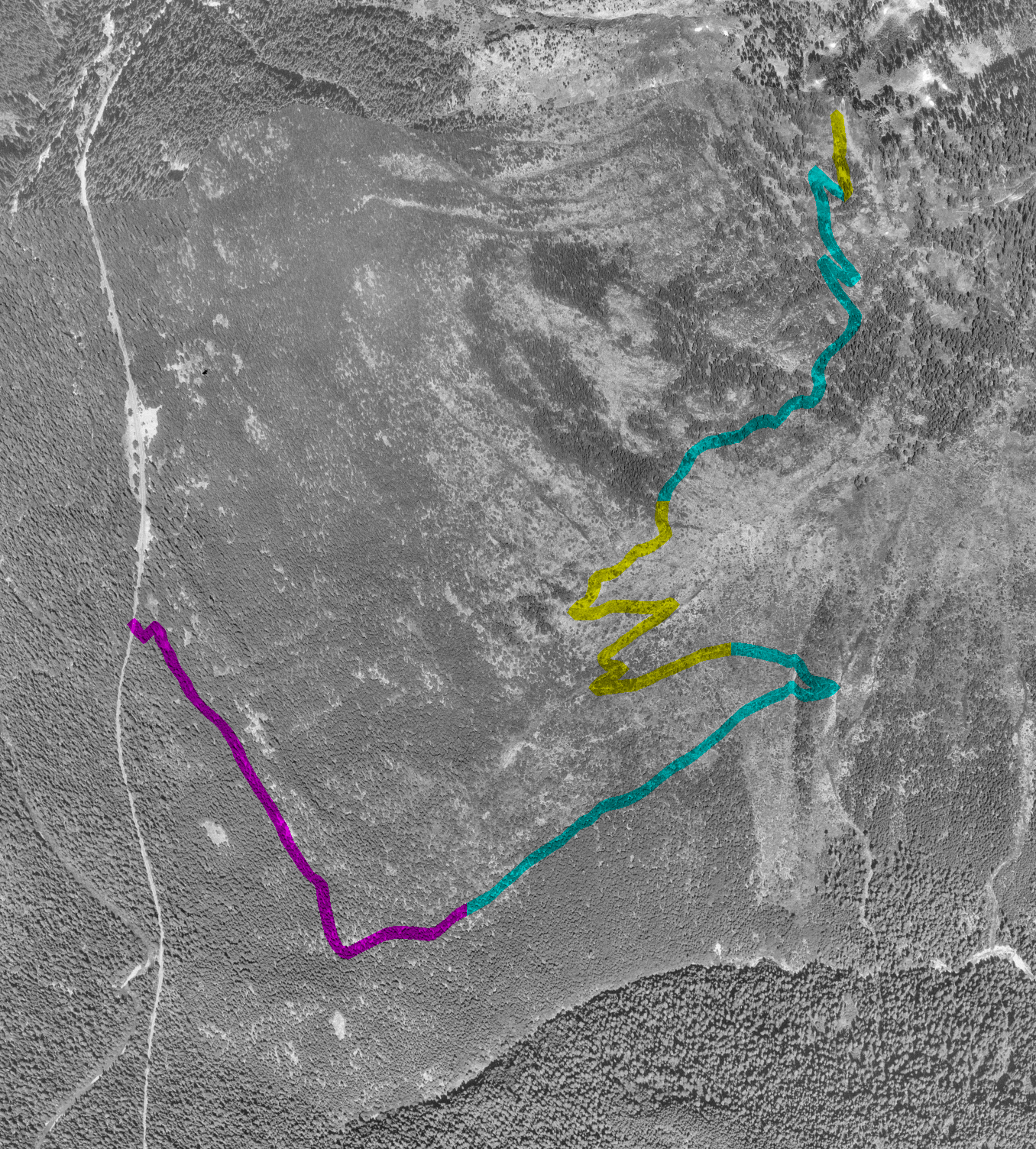
Starting from the east side of Highway 123 , north 3.5 miles from the Stevens Canyon Entrance or 7.5 south from Cayuse Pass, the trail climbs relentlessly. However, the hiker is rewarded with commanding views of the Ohanapecosh valley, Mt Rainier and distant view of the Cascades.
| Map Discription | Size (kb) |
| Small colored elevaton map | 4 |
| Topographic map with shadeing | 216 |
| Topographic map without shadeing | 91 |
| Shaded Basement Geologic Map | 91 |
| Air Photo | 1,837 |
|
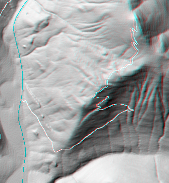
Stereo Map To see this image you will need special glasses (which I will provide if you contact me before supplies run out) |
143 |
return to main Rainier Trail Index
Gregg Petrie ©2000