
| Rainier Home | Contact Infomation | Statistics Explained | Map Information | Scope | Current Conditions |
|---|
STATISTICS:
|
click on map icon to expand
|
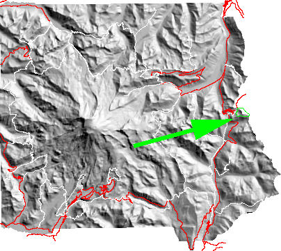
Starting form Tipsoo Lakes this short loop circles Naches Peak. Traveling clockwise keeps the Mountain in front most of the time; however, it can be done in either direction. In addition to good Mountain views the trails offers rich fields of flowers (often in late July - early August) and blueberries (hopefully) by late September.
| Map Discription | Size (kb) |
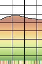
| Small colored elevaton map | 3 |
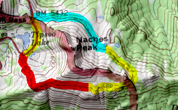
| Topographic map with shadeing | 129 |
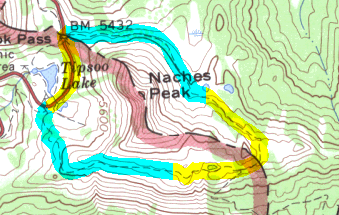
| Topographic map without shadeing | 97 |
|
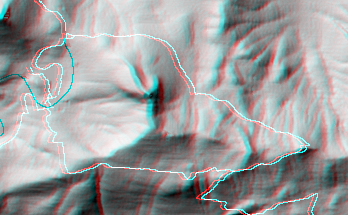
Stereo Map
To see this image you will need special glasses (which I will provide if you contact me before supplies run out) |
97 |
return to main Rainier Trail Index
Gregg Petrie ©2000