
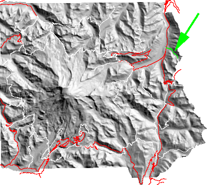
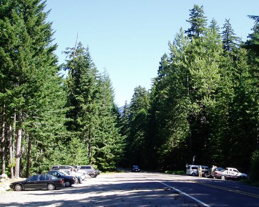
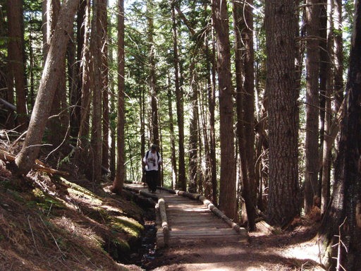
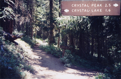
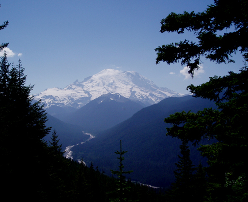
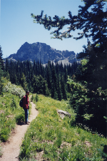
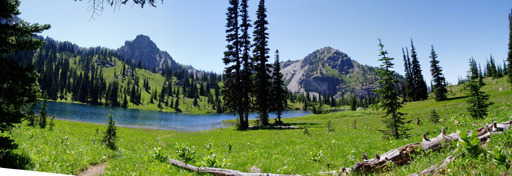
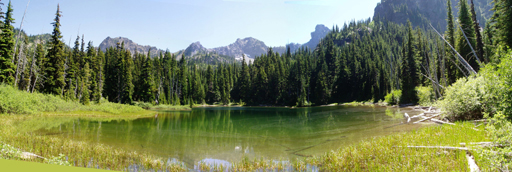
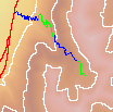
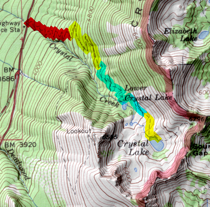
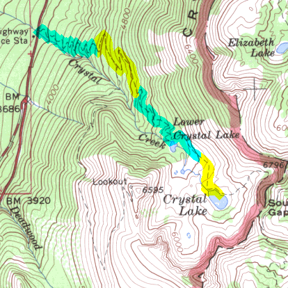
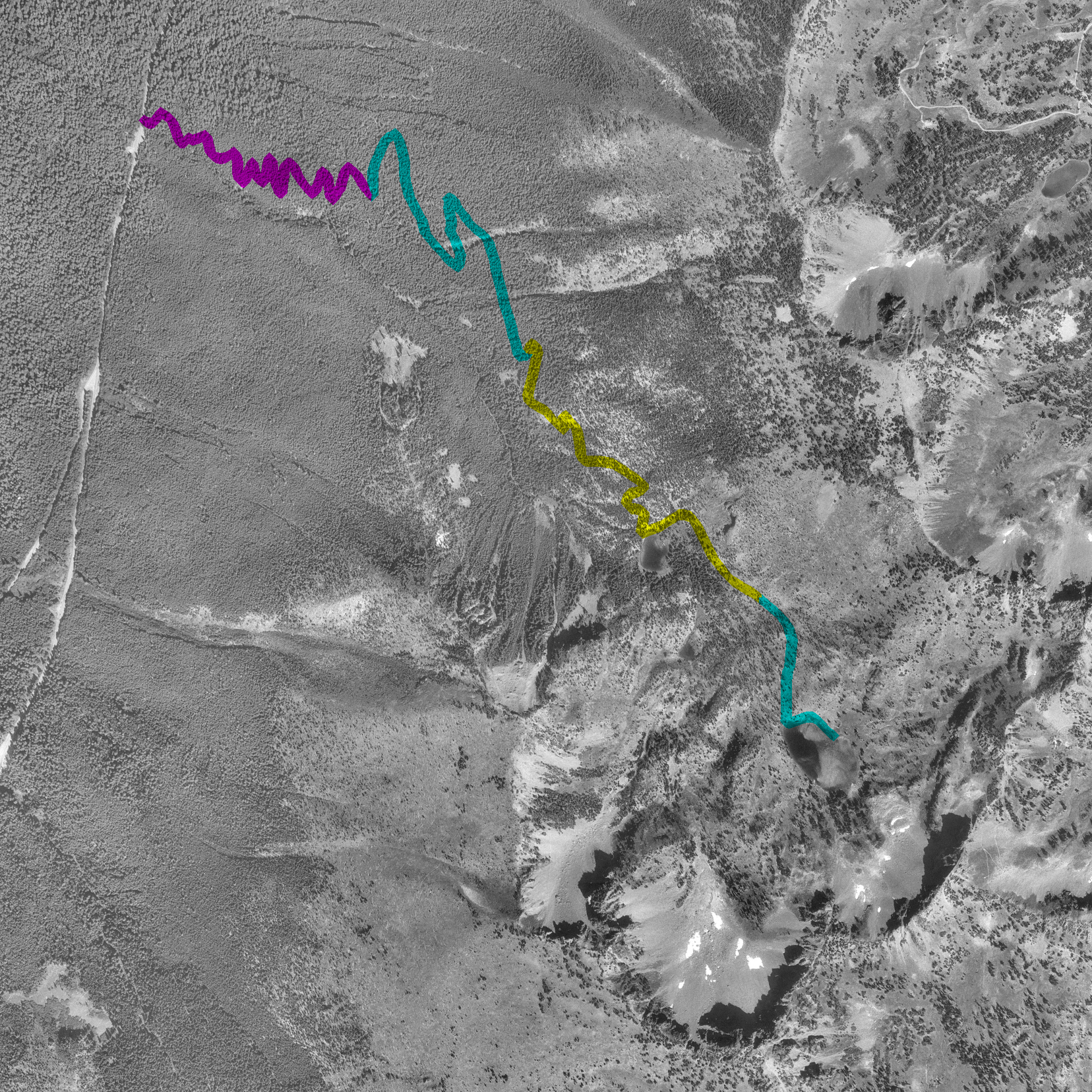
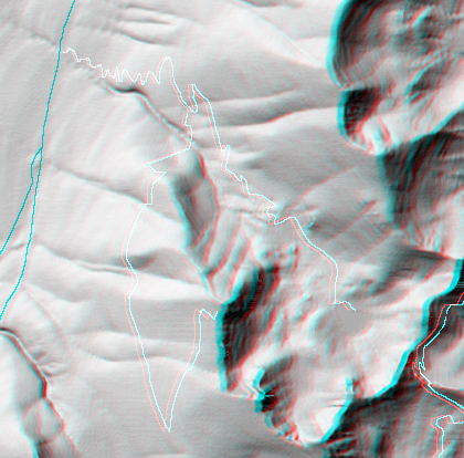
The parking lot(294kb) for the trail starts about 4.5 miles from the north park boundary. The first part of the trail is in forest (328kb) reaching the junction to Crystal Peak (257kb) about half way to the lake. Views of the mountain(188kb) and the White River can be had in forest openings; particularly after the Crystal Peak junction. Later the views of the mountain disappears behead Crystal Peak and the forest opens up(282kb) in the approach to Crystal Lake.(133kb) Camping is also available at Lower Crystal Lake(131kb).
return to main Rainier Trail Index Gregg Petrie ©2000 |