
STATISTICS:
- High point:7180
- Low point:6190
- Hiking season: late July - Sept.
- TotalElevation gain:1420
- Toal Elevation lost:1420
- Total distance:5.4
- Effective Distance:7.7
- Hiking time: 3 hours
|
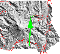
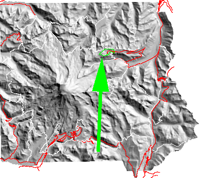
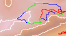
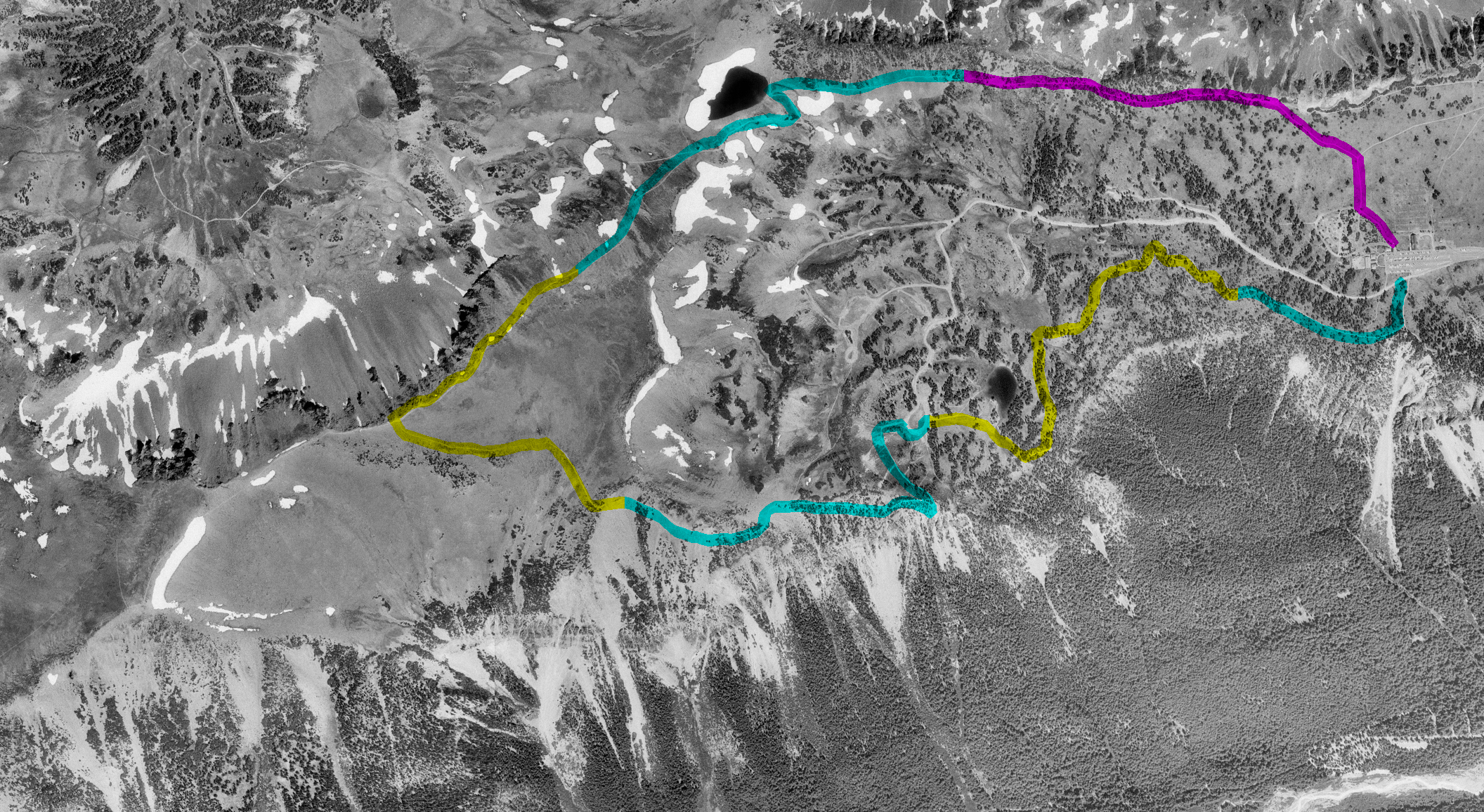
click on map to zoom in
|
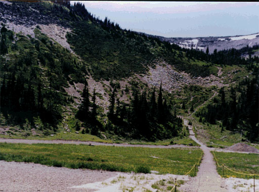
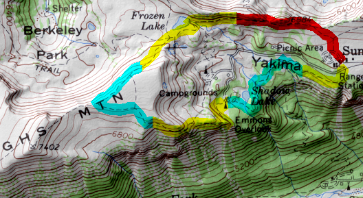
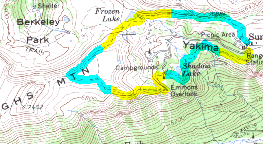
This loop offers one of the best ratios of scenic value for the effort in the Park.
Starting at Sunrise the trail rises and then
traverses to Frozen Lake.
Just beyond
the lake is a major trail intersection with branches to
Mt. Fremont,
Sunrise Camp, Burroughs, and west along the
Wonderland trail
to Berkeley Park and
Skyscraper.
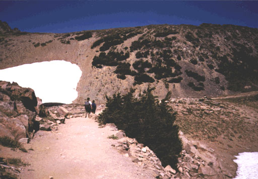
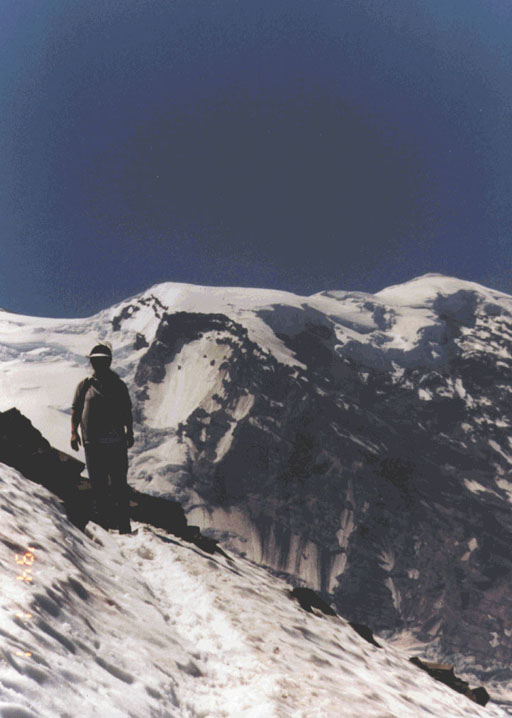
From the intersection the trail crosses a
steep snowfield
that often does not melt
out, if at all, until August; this part of the trail it can be quite treacherous
when snow covered. At the end of this traverse the hiker has the option of taking
a short (.5 mile) side trip to
Second Burroughs Mountain
for even better views.
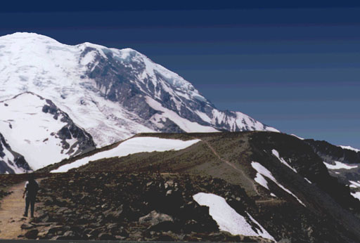
Turning south the tail loses elevation to the lookout over the White River and Emmonds
Glacier before continuing down into the
Sunrise Camp.
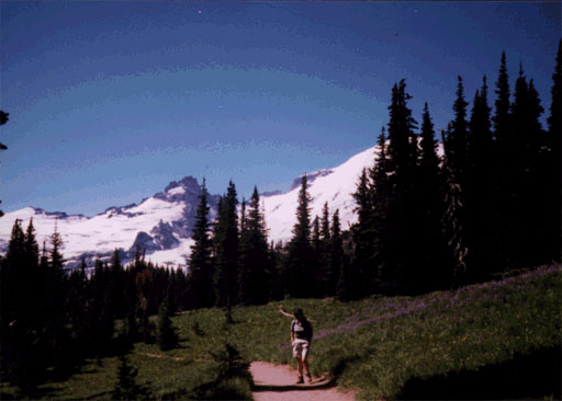
From the camp it is a
gentle rise back to Sunrise.
return to main Rainier Trail Index
Gregg Petrie ©2000
|